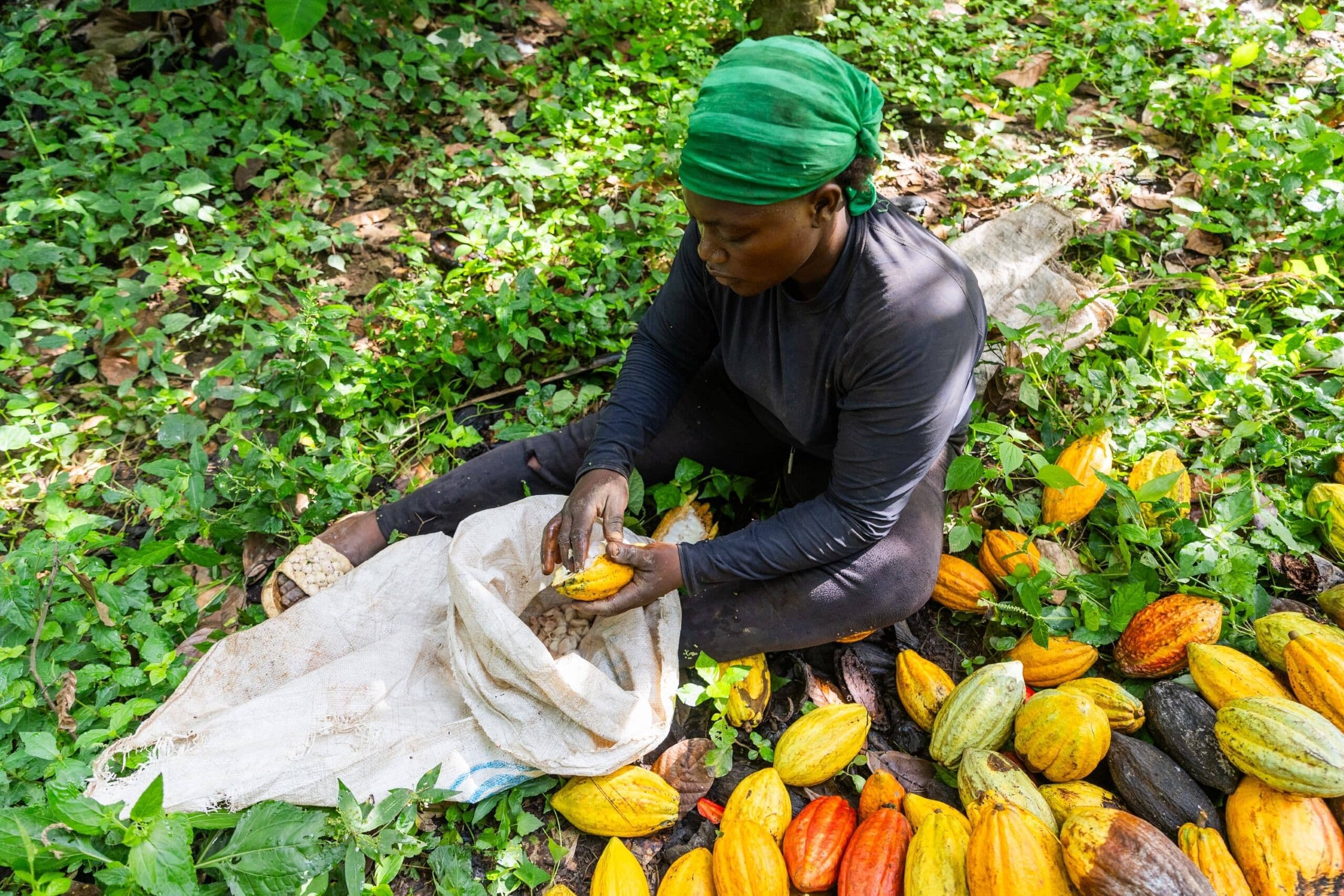
West Africa is the poorest region on the continent. Heavily dependent on subsistence agriculture, the region is plagued by low levels of productivity and food insecurity stands at nearly 50%. Massive migration from rural to urban areas is currently underway – particularly involving young men – and it is expected that 63% of West Africans will live in cities by 2050. Rapid urban expansion has left cities with inadequate infrastructure and sanitation services, causing land degradation and water pollution. It has also given rise to an increasing ‘feminization’ of agriculture, which is complicated by persistent inequity in women’s access to and control of productive assets. The region is highly vulnerable to climate change. Increasing temperatures, accompanied by erratic rainfall and prolonged dry spells and floods, are likely to reduce crop yields with serious implications for food security at a time of significant population growth: West Africa’s population of over 400 million is set to more than double by 2050.
IWMI in West Africa
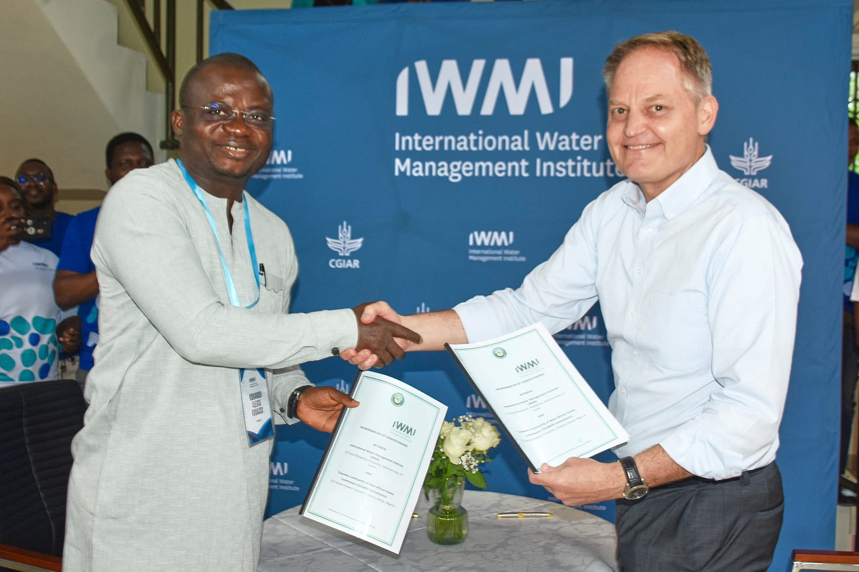
IWMI works closely with countries in the Economic Community of West African States and regional initiatives to respond to water challenges and priorities. Our partners include national and local governments, research institutes, universities, private sector enterprises, civil society and nongovernmental organizations, farmer associations and development organizations. IWMI’s strategy is centered around three strategic programs — Water, Food and Ecosystems; Water, Climate Change and Resilience; and Water, Growth and Inclusion — each supported by high-quality science and digital innovation.
This study compares the performance of satellite precipitation products (SPPs) and soil moisture-based rainfall products (SM2RPPs) in capturing rainfall patterns in Burkina Faso, West Africa. The findings indicate that SPPs outperform SM2RPPs at daily to annual timescales. The decomposition of total bias reveals that hit bias are dominant, but are larger in magnitude in SM2RPPs. Systematic errors are the major component of hit biases, suggesting they could be further treated through bias-correction. Wavelet analysis indicates that SPPs and SM2RPPs well capture seasonal and annual rainfall variability. All products struggle to accurately represent the most extreme rainfall indices, with SPPs performing better than SM2RPPs. For meteorological droughts, RFE2 and CHIRPS show the strongest correlations with observed SPI values across 1- to 12-month timescales. Although SM2RPPs perform less than SPPs in Burkina Faso, they appear mature for hydrometeorological applications and could further benefit from bias-correction to attain similar or better performance than SPPs.
Spatial distribution / Satellite observation / Climate change / Drought / Precipitation / Estimation / Rainfall patterns Record No:H053191
Floods are the most frequent disaster causing global economic losses in billions and pose a significant threat to modern civilization. The UNDRR strongly advocates for flood early warning system (FEWS) with scientific rationale for all nations by 2027, acknowledging that developing countries face financial and human resource challenges in adopting advanced FEWS infrastructure. This study is focused on the development of a FEWS for the Black Volta Basin (BVB) in West Africa with free data resources and open-source modeling infrastructure. It is based on the approach of integrating the Deltares wflow_sbm hydrologic model and the LISFLOOD-FP hydrodynamic model for forecasting flood and inundation maps. The wflow_sbm is calibrated (1990–1997, NSE value = 0.71) and validated (1998–2007, NSE value = 0.72) by using station-based gridded rainfall from the West African Science Service Centre on Climate Change and Adapted Land Use (WASCAL) and discharge time series from Global Runoff Data Centre (GRDC) portals. Based on the calibrated parameters, wflow_sbm model is utilized to produce hydrograph for the years 2001–2022 with raw and bias-corrected GPM-IMERG rainfall inputs, where the discharge with the latter is found to outperform that from the former. The peak flood event from the produced hydrograph by the wflow model is fed into a 2D hydraulic model, LISFLOOD-FP model, to simulate the flood extent. Evaluation of modeled inundation modeling by comparing with satellite inundation observation during flood 2022 case resulted in an acceptable range (F = 0.527). Hydrograph for the flood 2022 case is overlapped with hydrographs from GEFSv12 weather forecast inputs in 1 day, 2 days, and 3 days. It is found that the absolute error percentage for 1 day throughout most of the season is forecasted under 10% including the peak of the flood. Forecasts lead time of 2 and 3 days are observed to have degraded accuracy as compared to 1-day forecasts due to higher uncertainties. Identification of the onset of hydrograph inclination is also found to underperform by GEFSv12 inputs and possible causes are discussed. The aim of this work is to promote FEWS with limited resources in African river basins, considering the problem of data scarcity.
Case studies / Disaster risk reduction / Rainfall / River basins / Models / Monitoring / Early warning systems / Flood forecasting Record No:H053136
Climate change leading to Climate extremes in the twenty-first century is more evident in megacities across the world, especially in West Africa. The Greater Accra region is one of the most populated regions in West Africa. As a result, the region has become more susceptible to climate extremes such as floods, heatwaves, and droughts. The study employed the Coupled Model Intercomparison Project 6 models in simulating climate extreme indices under the Shared Socioeconomic Pathway scenarios (SSPs) over West Africa between 1979 and 2059 as exemplified by the Greater Accra region. The study observed a generally weak drought in the historical period and expected to intensify especially under SSP585 in Greater Accra. For instance, continuous dry days (CDD) reveal an increasing trend under the SSPs. Similarly, the overall projected trend of CDD over West Africa reveals an increase signifying a more frequent and longer drought in the future. The flood indices revealed a surge in the intensity and duration of extreme precipitation events under the SSPs in the region. For instance, R99pTOT and Rx5days are expected to significantly increase under the SSPs with intensification under the SSP245, SSP370, and SSP585. A similar trend has been projected across West Africa, especially along the Guinean coast. The study foresees a gradual and intensifying rise in heatwave indices over the Greater Accra region. The warming and cooling indices reveal an increasing and decreasing trend respectively in the historical period as well as under the SSPs particularly within urban centers like Accra and Tema. Most West African countries are projected to observe more frequent warm days and nights with cold nights and days becoming less frequent. Expected effects of future climate extreme indices pose potential threats to the water, food, and energy systems as well as trigger recurrent floods and droughts over Greater Accra. The findings of the study are expected to inform climate policies and the nationally determined contribution of the Paris Agreement as well as address the sustainable development goal 11 (Sustainable cities) and 13 (Climate action) in West Africa.
In this paper, we present an analysis of summertime atmospheric simulation (June–July 2016) for southern West Africa (sWA) using the RegCM 4.7.1 regional climate model to describe the atmospheric behaviour over the region, and also engage comparisons between the modelled data and observed upper air data acquired during the DACCIWA (Dynamics–Aerosol–Chemistry– Cloud Interactions in West Africa) field campaign period. First, assessments of relative humidity and zonal wind profiles were made for selected coastal and inland stations, to infer the relative vertical and temporal atmospheric differences for both locations. Thereafter, the model’s performance was evaluated, capturing an excessive wet bias in RH profiles of the model with accompanying reduced zonal winds at the Tropical Easterly Jet (TEJ) region and thus produces excessive upper tropospheric cloud liquid water content. Also, in the lower troposphere (particularly, the monsoon layer), RegCM 4.7.1 model captures adequate spatial differences in both RH and zonal wind profiles along the coast and inland. We judge this outcome to be a valuable contribution on the path to rendering RegCM4 a good tool for simulating atmospheric and climate dynamics in sWA.