Measuring how ecosystems regulate rivers

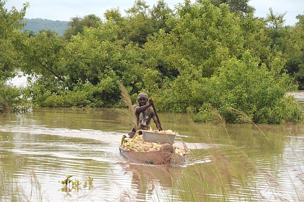
Photo: Nana Kofi Acquah / IWMI
Few rivers flow in a truly natural state. Even if no dams or diversion canals have been built along a river, changes in nearby land-cover and land-use can still have dramatic impacts on water movements.
The natural systems in landscapes regulate river flows by storing and releasing water between seasons and by altering evapotranspiration (water emitted by soil and plants). In some cases, these ecosystems can help protect human populations against the destruction and hardship caused by floods or water shortages by reducing flood peaks and enhancing dry-season flows.
In a recently published IWMI research report, Guillaume Lacombe and Matthew McCartney outline a method to quantify the impact of ecosystems on flow regimes. This was developed and tested on the Volta and Mekong rivers: two basins in which people’s livelihoods are particularly dependent on river water.
“A fundamental problem with these two important rivers is the lack of reliable biophysical data at the basin scale and for different time periods,” says Lacombe. “This prevents any accurate assessment of the hydrological effect of land-use changes over time. However, we can make the comparison between gauged sub-basins – where the water flows are measured – over the same period and use this to gain insights into which characteristics explain flow differences between the studied sub-basins. Instead of building complex physical models, we used what little data we had and some basic maths to derive these relationships.”

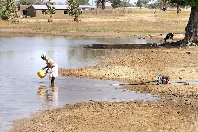
Photo: Felix Antonio / IWMI
The researchers looked at geographic, geomorphologic, climatic, soil and land cover features. The resulting models allow the hydrological consequences of modified paddy area and forest cover to be determined. In the Mekong River Basin, extending paddy areas results in a decrease in downstream low flows. In the Volta River Basin, the conversion of forests to crops induces greater downstream flood flows.
In contrast, wetlands and soil types were found not to have any significant effect on downstream flows in the sub-catchments investigated. The authors think that this may be due partly to the metrics available, but also may be because wetlands only represent a relatively small area of the catchments studied. In basins with a greater proportion of wetlands, they would be likely to have a more significant impact on river flows.
Basin development planners, who tend to neglect flow-related ecosystem services, should take these relationships into account, say the authors.
“The models derived in this study could be used for a range of applications,” says Lacombe. “Potentially they can help predict how changes in forest cover or agriculture might interact with changes in rainfall to affect river flow. This will be important to understand as we experience more variability in rainfall patterns and land-use due to climate change and economic development.”
This research is supported by the CGIAR Research Program on Water Land and Ecosystems


