Not a panacea but a big piece of the puzzle
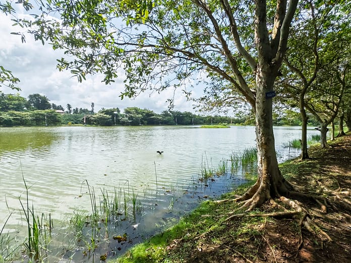
IWMI joins colleagues around the world in celebrating World Wetlands Day, the theme of which this year is “wetlands for disaster risk reduction.” February 2 is the date on which the Ramsar Convention on Wetlands was adopted in 1971. A new opinion article, published for this occasion in The Conversation, 
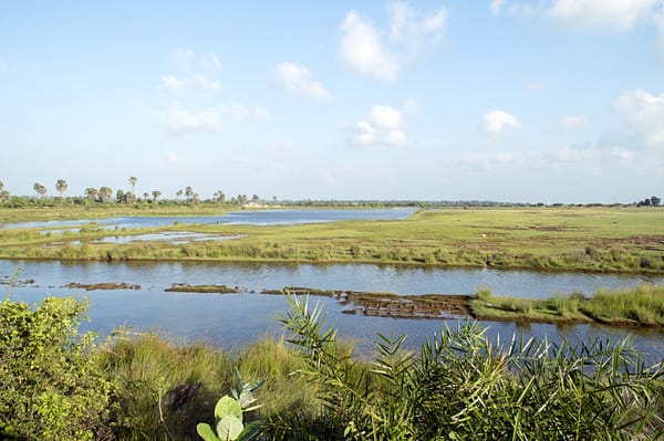
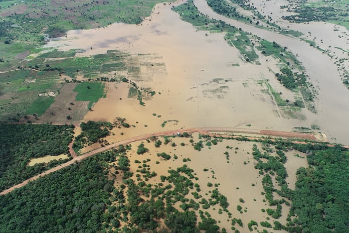
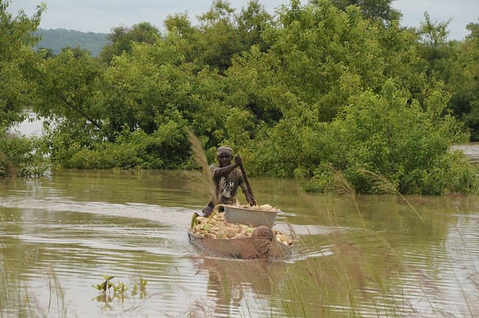
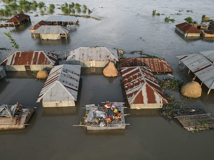
Written by Matthew McCartney, a scientist with the International Water Management Institute (IWMI), and Max Finlayson, Director of the Institute for Land, Water and Society at Charles Sturt University in Australia, the article suggests that the value of wetlands for disaster mitigation, though highly significant, is sometimes overstated, with potentially harmful consequences. While much evidence, the authors say, shows that wetlands often lower the risks – by reducing the short-term physical impacts and helping communities recover afterwards – the exact role they play depends on many other factors, which vary across locations and over time. Under some circumstances, wetlands may actually contribute to the processes that give rise to natural hazards.
Ignoring these subtleties, the article warns, can lead to inappropriate policies, costly mistakes, and missed opportunities. Rather, the authors urge local planners and aid agencies to examine closely the evidence for different options and on this basis to prepare smart plans that draw on a range of measures, which may include wetland conservation but also, where appropriate, built infrastructure, early warning systems, timely and effective disaster relief, and contingency planning. Such an approach is entirely in keeping with the “wise use” philosophy of the Ramsar Convention, which provides a framework for national action and international cooperation focused on conservation and sustainable management of these indispensable ecosystems.
Putting the approach into practice, however, is easier said than done. To provide guidance, IWMI conducts research on the management of water-related disaster risks, with an emphasis on “nature-based” solutions. The approach, focused on building community resilience in the face of climate change, has three main components.
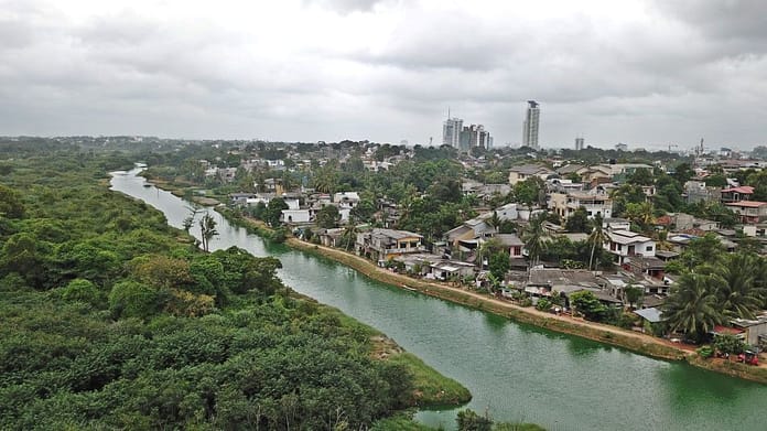
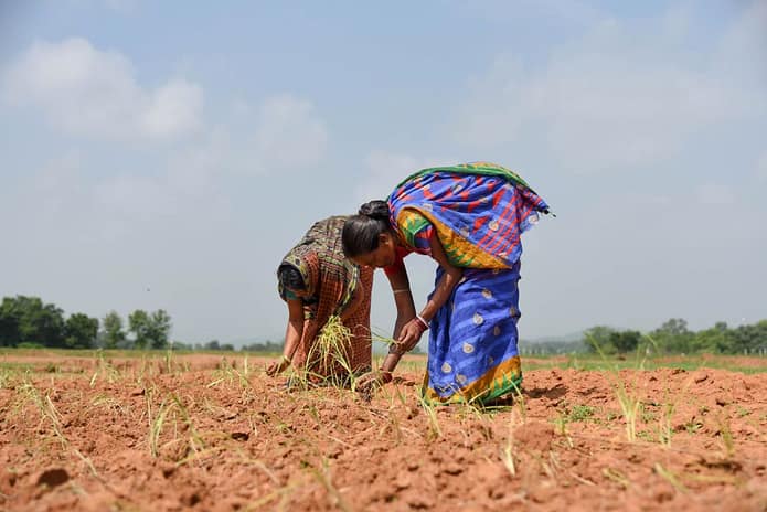
The first involves determining how wetlands and other ecosystems can help people cope with extreme climatic events, such as floods and droughts. In India, for example, IWMI and its partners recently developed a strategy for conserving peri-urban wetlands, whose vital ecosystem-services underpin local livelihoods and bolster communities’ ability to cope with climate-related risks. Dealing explicitly with impacts on women, the strategy is intended to make urban planners more aware of the important role wetlands play and help ensure they put in place policies and practices to safeguard them.
The second component consists of identifying and testing innovative solutions. For example, a project called Underground Taming of Floods for Irrigation and Risk Transfer Solutions through Index Flood Insurance is assessing the effectiveness and economic feasibility of a novel approach to flood mitigation. It involves reducing flood peaks by diverting excess water into underground aquifers. This can protect downstream communities and urban areas from flooding, while providing more water for irrigation to boost agricultural production in the dry season. Working at sites across South and Southeast Asia, the project is conducted by the IWMI-led CGIAR Research Program on Water, Land and Ecosystems (WLE) in conjunction with the CGIAR Research Program on Climate Change, Agriculture and Food Security (CCAFS), led by the International Center for Tropical Agriculture (CIAT).
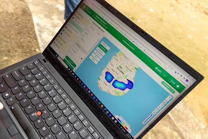
The third component of IWMI’s approach centers on the development of monitoring and early warning systems with the aid of cutting-edge technologies. At a recent workshop in Delhi, for example, experts launched a satellite-based early-warning system for drought, which IWMI scientists developed with support from CCAFS and WLE as well as the World Meteorological Organization, Global Water Partnership, and Japan’s Ministry of Agriculture, Forestry and Fisheries (MAFF). Intended to monitor how droughts develop over time and space, the system helps predict the severity of dry spells, their expected length, and potential impacts on crops and livestock. Freely available through an online portal, this information enables governments and international agencies to better plan and target interventions for mitigation and relief. In Sri Lanka, IWMI’s host country, the system has proved helpful to government planners in dealing with a major drought.
Climate extremes are a major contributor to food insecurity and poverty. affecting many millions of people worldwide. Better enabling them to cope with the impacts, and even thrive, despite increasing frequency and severity, requires wetland conservation and much more. Faced with a wide range of options, decision makers can rely on IWMI scientists to provide the evidence and tools they need to make smart choices that reinforce wise use of wetlands and reduce the vulnerability of people who depend on them.


