Amgad Elmahdi, Representative – MENA Region, International Water Management Institute (IWMI)
Marie-Hélène Nassif, Consultant, IWMI
Marie Therese Abi Saab, Head of the Climate and Water Unit, Lebanese Agricultural Research Institute (LARI)

Information and communication technologies (ICTs) are increasingly being used in water management to help stakeholders at multiple scales make better and faster decisions in water resources planning and development. While ICT is no panacea, advancements in technologies now allow remote sensing measurements to be integrated with a large number of geo-specific variables. These innovations make it much easier to study water needs and availability and, consequently, improve water productivity.
At basin scale, for example, remote sensing tools (such as satellite imagery) can be used for crop mapping and assessing water requirements. At plot level, many technologies are being developed to help make better decisions regarding when and how much to irrigate. These tools range from simple digitized tensiometers for measuring soil moisture to advanced (yet user-friendly) mobile applications that can integrate multiple weather, soil and crop variables. Furthermore, it is now possible to remotely link these devices to agricultural machinery, such as irrigation systems, to automate processes and save time and labor. This is in addition to the tremendous role that ICT can play in facilitating access to data and knowledge.
In 2017, the Food and Agriculture Organization of the United Nations (FAO), International Water Management Institute (IWMI) and other partners embarked on a project focusing on the use of remote sensing and other ICT tools to improve water productivity in Lebanon, Ethiopia, Mali and Egypt.
IWMI’s office in the Middle East and North Africa (MENA) region led the project and promoted the use of ICT tools in Lebanon, a Mediterranean country currently experiencing severe water shortages. During the first year of the project, IWMI conducted a twofold stakeholder mapping and needs assessment study. Around 15 representatives from public administrations, research centers, telecom companies, nongovernmental organizations (NGOs) and start-ups were interviewed to evaluate how ICTs are used in agriculture at the national level, as well as the obstacles stakeholders face when adopting these tools.
In parallel, an in-depth study was conducted with farmers in the Bekaa plain in East Lebanon to identify if, and where, new technologies were currently used and could be adopted in the future. Researchers interviewed a sample of 40 farmers with different farm sizes and crop types, water sources (surface water and groundwater), irrigation techniques (surface, drip or sprinkler) and management types (managed by the state, individual and community). Among other results, the study highlighted that, in part, several new technologies have been successfully developed and/or adopted by government research institutions (e.g., Lebanese Agricultural Research Institute [LARI] and the National Council for Scientific Research [CNRS]), NGOs (e.g., arcenciel) and start-ups (e.g., Agrytech). Despite this progress, the initiativesenerally remain localized and are not accessible to farmers or adaptable to their practices, and technical and financial capacities.
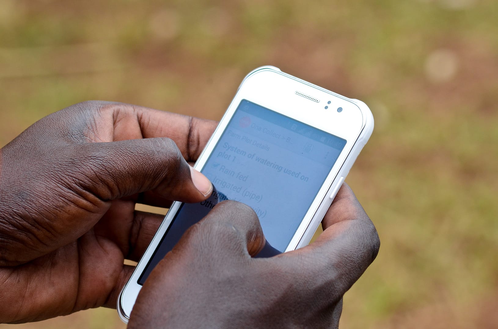
The LARI-LEB phone application, for example, was originally limited in its ability to help farmers enhance their day-to-day irrigation practices, despite being a unique communication channel between the Lebanese government and farmers. Farmers would have benefitted from geo-specific data, but instead the app primarily provided general weather data and information on occurrences of plant disease. While the vast majority of farmers had access to the internet access and smart phones to use the app, the information provided did not take into account farmers’ needs.
Now, in the second year of the project, LARI and IWMI are in the process of upgrading the phone application, with the objective of providing farmers with information customized to their plots, weather conditions and crop types. The new app will integrate geo-specific weather data (from LARI’s 12 weather stations), extract crop evapotranspiration values (for main crops in the Bekaa plain), and translate that technical data into readable irrigation schedules. The app will also specify the amount of water required based on crop type, irrigation system and soil type.
The app will provide farmers with information about how much they need to irrigate in the next 7 days, as well as details on crop evolution and health using FAO’s open-access portal (WaPOR) for monitoring water productivity.
In the coming months, staff of LARI and other public agencies will be trained to operate the new app and, in parallel, LARI and IWMI will organize several workshops and present the app to different stakeholders. End-users, including farmers, will be invited to learn how to use the app, try it and give their feedback.
For the phone app to be effective and sustainable, it must only be regarded as being a part of a more integrated approach to development and codesigned with the end users (farmers). It requires day-to-day technical and organizational efforts from the governmental authorities, and cannot completely replace agricultural extension services and face-to-face communication with farmers in the field.


