By Komlavi Akpoti, Naga Velpuri, Fulco Ludwig, Olufunke Cofie & Abdulkarim Seid
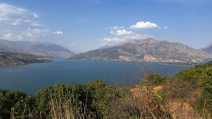
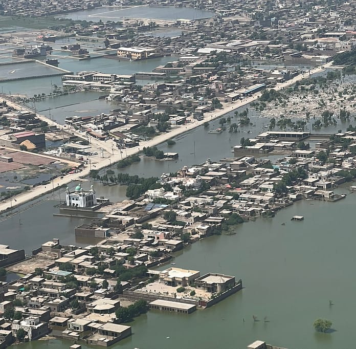
River discharge is a critical metric for effective water resource management, disaster preparedness, and climate resilience. However, Africa’s hydro-meteorological network remains sparse, particularly in regions requiring closer monitoring. The continent’s 63 transboundary rivers, lifelines for millions, suffer from inadequate or outdated gauging stations, severely limiting the ability to monitor water flow accurately.
In our recent paper, State of Continental Discharge Estimation and Modelling: Challenges and Opportunities for Africa, we explore these challenges and propose actionable solutions. Data gaps can lead to vulnerabilities during extreme hydrological events, such as floods and droughts, and disparities in data quality across regions exacerbate these issues.

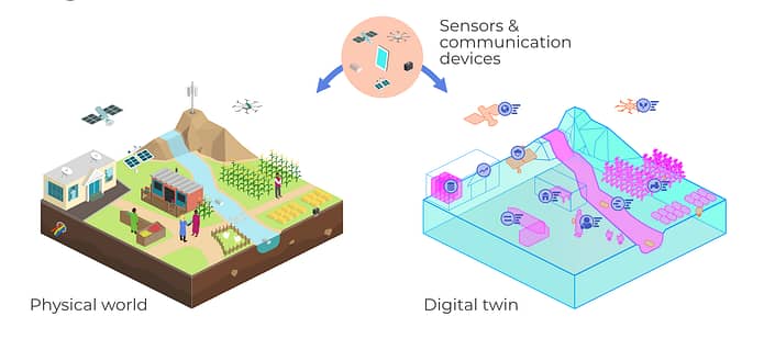
While challenges persist, technological advancements offer promising solutions. Our research shows the importance of remote sensing, Geographic Information Systems, and machine learning in addressing Africa’s water data challenge. Remote sensing technologies can provide large-scale, high-frequency data that bridge the gaps created by the lack of on the ground monitoring stations. These technologies have the potential to transform the way we estimate and monitor river discharge, particularly in politically sensitive or remote areas where physical stations are hard to maintain.
Transboundary cooperation and community engagement
An opportunity for Africa lies in improving regional cooperation and community engagement in water management. Many large rivers in Africa, including the Nile and the Niger, flow across multiple counties. To effectively manage water resources, countries need to engage in data sharing and cooperative water agreements. A key recommendation from our study is the establishment of regional data hubs, where countries can pool resources, share hydrological data, and make collaborative water management decisions.
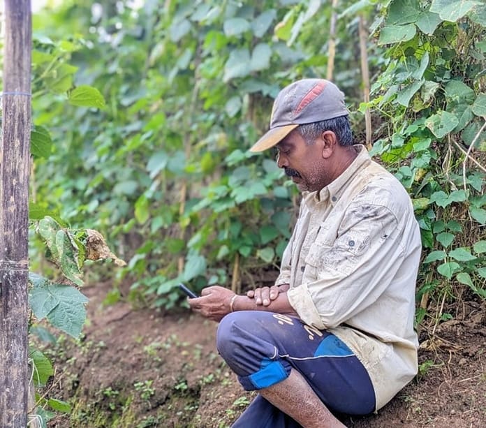
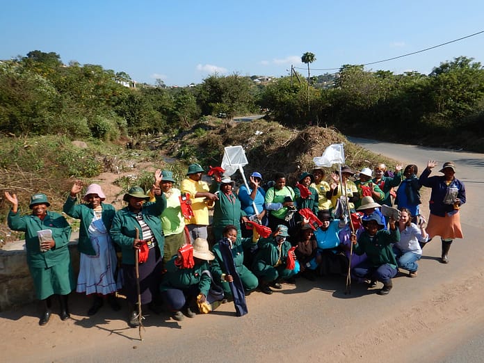
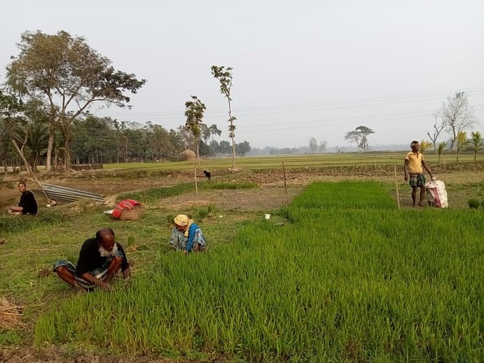
At the local level, community engagement can play a pivotal role in enhancing river discharge estimation. Citizen science initiatives, where local communities participate in data collection, offer a scalable solution for improving water monitoring. With mobile technology, citizens can provide valuable, real-time hydrological data that can be integrated into larger, more formal monitoring systems. This decentralized approach, supported by capacity-building programs, can greatly strengthen the continent’s water management infrastructure and increase data availability.
Nature-based solutions
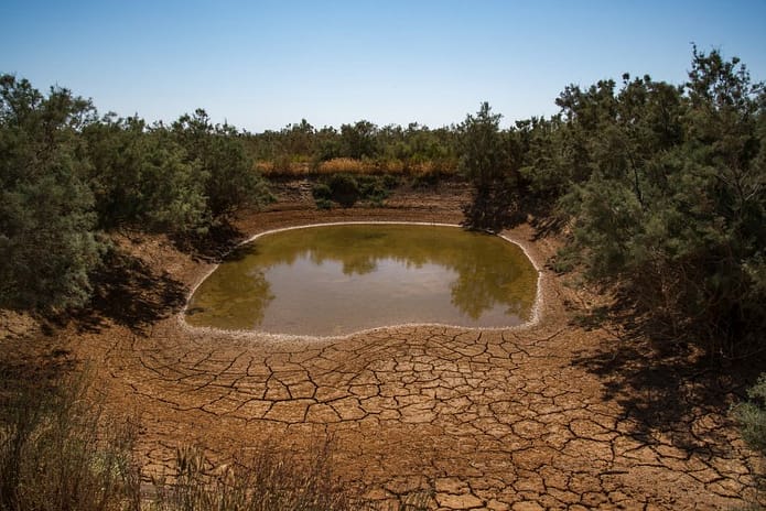
In addition to technological and community-driven approaches, nature-based solutions offer a sustainable path forward. Reforestation projects are not only critical for biodiversity conservation but also play a key role in regulating river discharge. Forests and wetlands act as natural sponges, absorbing excess water during floods and slowly releasing it during dry periods, thus helping to stabilize river flow and prevent extreme events. Nature-based solutions can complement traditional monitoring by enhancing the natural regulation of river discharge, making it easier to estimate and predict flow patterns. For instance, restored wetlands and reforested catchments act as natural buffers, smoothing discharge variability and reducing the frequency of extreme events like floods and droughts.
The future: Data cubes and integrated systems
To fully capitalize on these opportunities, Africa must invest in integrated monitoring systems that combine multiple data sources into a unified platform. One promising avenue is the development of free, open-source data cubes and platforms, such as the Digital Earth Africa platform and IWMI’s Africa Geoportal. Data cubes allow for efficient storage and analysis of vast amounts of satellite imagery and related datasets, which can then be used to monitor river basins in real-time. By integrating these platforms with discharge data, Africa can significantly enhance its ability to detect trends, predict anomalies, and manage water resources more effectively.
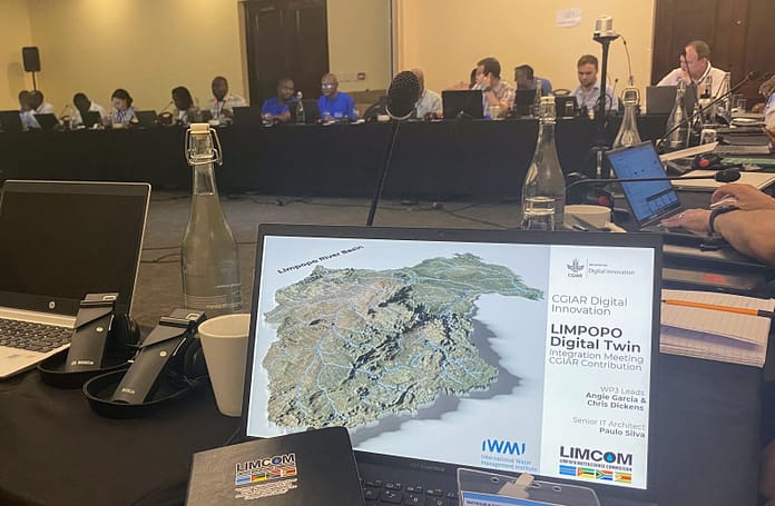
The DIWASA initiative
Under the DIWASA project, IWMI is leading the way in advancing water resource management across the continent. By leveraging cutting-edge hydrological modeling, IWMI estimates river discharge product (version 1) for over 64,000 river segments in Africa, producing monthly time series data from 2000 to 2021. This initiative plays a critical role in continental-scale water accounting, providing accurate, high-resolution data that supports water management, policy formulation, and climate resilience efforts across Africa. Through DIWASA, IWMI is addressing the continent’s water data gaps and contributing to more informed, sustainable water resource management.

Africa’s water-secure future depends on its ability to adapt to climate change and mitigate the effects of water scarcity. Accurate river discharge estimation is a cornerstone of this effort, enabling better water resource management, disaster preparedness, and climate resilience. In the face of growing climate uncertainties, Africa stands at a critical juncture. The path forward is clear: strategic investments in technology, robust policy frameworks, and collaborative efforts are essential to building a water-secure future for the continent.