IWMI has established partnerships with Sentinel Asia, led by the Asia-Pacific Regional Space Agency Forum (APRSAF), European Space Agency (ESA), and United Nations Office for Outer Space Affairs (UNOOSA) – United Nations Platform for Space-based Information for Disaster Management and Emergency Response (UN-SPIDER), to support disaster management in Asia and Africa.
When member countries and partners request for support during an emergency situation, IWMI sends a request to the disaster charters, which provide the appropriate satellite images quickly with a maximum delay of one or two days. IWMI will then process these data, for example, through ‘rapid mapping’ and forward the resultant products to the country concerned. Further, IWMI uses other freely available satellite data (e.g., Moderate Resolution Imaging Spectroradiometer [MODIS], Landsat, Global Precipitation Measurement [GPM] and Sentinel-2) to supplement the mapping services.
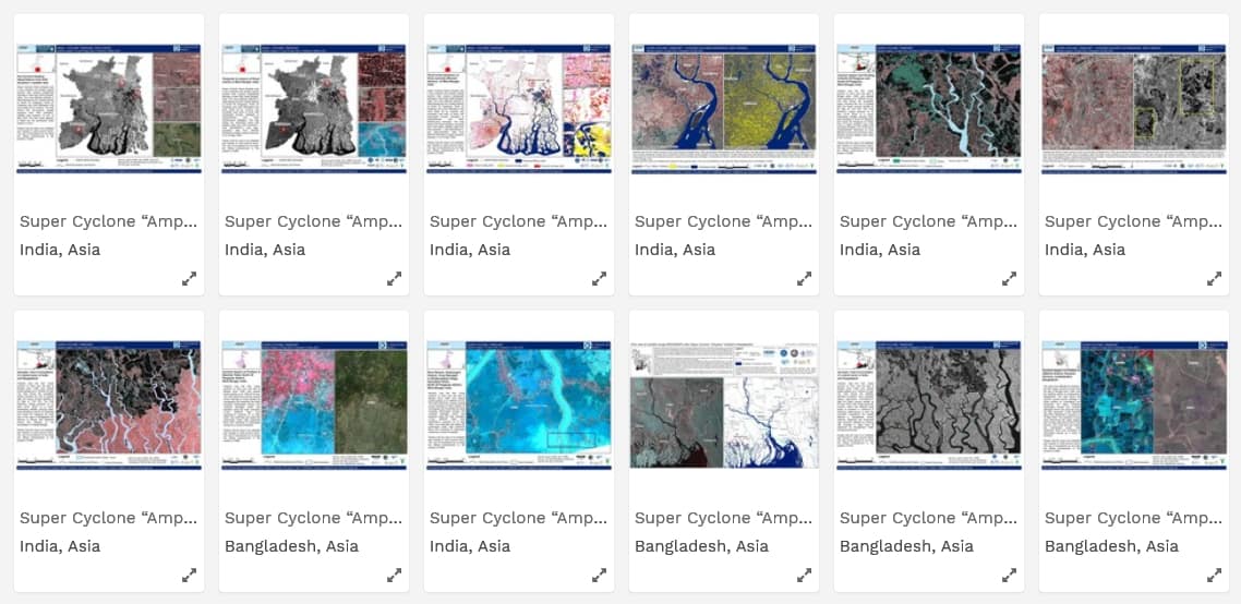
Some examples of rapid emergency mapping products on floods, droughts and extreme rainfall for Asia and Africa are summarized here.

The map products and value-added services are implemented under the Water-related Disaster Risk Management (WDRM) sub-theme and supported by the CGIAR research program on Climate Change, Agriculture and Food Security (CCAFS) and CGIAR Research Program on Water, Land and Ecosystems (WLE).


